
The rumours that our campaign is over are officially dead. This week, the Burntwood Action Group (BAG) Strategic Policy Team formally logged our finalised, professionally branded technical defence suite directly with Lichfield District Council (LDC) Development Control.
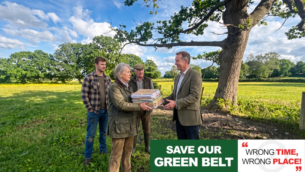
We have also navigated a major procedural shakeup. LDC’s Principal Planning Officer, Gillian Pinna-Morrell, has left the authority mid-determination. While a sudden change in Case Officer might cause administrative delay, we have turned it into a massive tactical opportunity. By routing our completed submissions directly to the central Development Control inbox, we have ensured they are indexed on the portal before the incoming Case Officer even opens the file. Day one of their review will begin by confronting an airtight, legally backed wall of planning objections they cannot ignore.
Here is a summary of the eight devastating technical documents we have submitted to protect the green corridor between Rake Hill and Meg Lane:
1. Dismantling the “Grey Belt” Loophole (BAG-RFTN-01)
The developer is attempting to exploit a relaxed “grey belt” definition to build on our unallocated Green Belt land. We have blocked this path completely using two high-level legal and local planning precedents:
- The Wrotham Precedent: Based on the High Court ruling in Wrotham Parish Council v MHCLG [2026] EWHC 165 (Admin), we have proved that because the developer’s proposal violates vital protective policies (such as Special Areas of Conservation, National Landscapes, and flood risk), the NPPF’s “tilted balance” in favour of development is legally disengaged.
- The Little Aston Precedent: On 23 July 2026, LDC refused a Green Belt development at Little Aston. Crucially, the council ruled that even if a wider area is strategically labelled “moderate,” a site-specific, granular assessment must be applied to the actual red-line boundary. When that granular method is applied to Rake Hill, the land performs a “Strong” role in checking sprawl and is excluded from the grey belt.
2. Ecological Protection & SSSI Mitigation (BAG-RFTN-02)
Our ecological objections are now backed by the council’s own Ecology Manager:
- Hedgerow H18 “Veto”: The developer intends to bulldoze 110 metres of Hedgerow H18. The Ecology Manager has confirmed H18 is legally “Important” and is a critical bat foraging hotspot. The developer’s plan directly violates the statutory mitigation hierarchy, which mandates that they must first Avoid ecological harm.
- The Gentleshaw Common SSSI Deficit: Natural England and LDC Ecology have officially rejected the developer’s lazy proposal to manage recreational pressure on the vulnerable SSSI by simply distributing “information packs” to new homeowners.
- The BNG Illusion: The developer claims a 10.01% Biodiversity Net Gain, but the housing site itself actually suffers a 19.7% habitat loss. To make up the numbers, they propose off-site mitigation on 5.2 hectares north of Meg Lane. However, our research has exposed that this northern land is Grade 2 and Subgrade 3a Best and Most Versatile (BMV) agricultural land, which is legally protected from such sterilisation under NPPF Paragraph 187.
3. Protecting Our Heritage From Domination (BAG-RFTN-03)
We have exposed devastating admissions within the developer’s own Heritage Statement:
- Admitted Domination: The developer’s consultant admitted that surrounding the historic, non-designated farmsteads at Castle Farm and Mostel Lea on three sides with suburban housing will cause unavoidable, less-than-substantial harm. They explicitly admitted that detailed layout and landscaping will offer no meaningful scope for mitigation to reduce this harm.
- The Nailstone Cottage Omission: We completed detailed mapping work and identified that Nailstone Cottage—a historic property whose rear wall is directly coincident with the application’s red line—was completely omitted from the developer’s assessments.
- The Security vs. Ecology Catch-22: Staffordshire Police state that to prevent a 110% property crime spike in the developer’s “leaky cul-de-sac” design, segregated footpaths must be wide, straight, and heavily illuminated. However, LDC Ecology and the developer’s own reports mandate that these boundaries must remain completely dark and unlit to protect nesting owls and foraging bats. The developer cannot physically satisfy both requirements on the same narrow strips of land.
4. Dismantling the Highways & Access Case (BAG-RFTN-04)
We have exposed shocking statistical manipulation and baseline errors in the developer’s transport submissions:
- The Closed Lane Trap: The developer’s traffic counts on Meg Lane were conducted on 8 May 2025—during a period when Meg Lane was officially closed under a long-term Staffordshire County Council permit! Measuring baseline traffic on a closed road to calculate road-network capacity is a technical sham.
- Fabricated Future Modelling: To justify their extreme claim that 99% of vehicle traffic will turn west and only 1% will travel east, the developer’s consultant claimed they used a Google drive-time model with an departure timestamp of Wednesday 23rd September 2026! They are asking the council to make a statutory decision based on fabricated, future-dated traffic data.
- Vulnerable-User Hazards: Public Footpath No. 1 (CP1) bisects the site and meets Meg Lane east of the developer’s proposed footway improvements. Future residents, including children walking to local schools, will be delivered directly onto an unimproved, narrow, unlit 60 mph rural lane.
5. Failed Infiltration & Drainage Non-Support (BAG-RFTN-05)
The physical feasibility of the entire scheme has collapsed under expert hydrological scrutiny:
- Unviable Soakaways: During soakaway testing on site, four out of six test locations failed completely to discharge water within 24 hours. The developer’s report admits that “soakaways are not considered to be viable”.
- The LLFA Veto: On 27 July 2026, the Lead Local Flood Authority (LLFA) formally confirmed that the developer had failed to address their concerns, stating that the LLFA is unable to support the drainage strategy.
- Wastewater Capacity Deficit: The developer claims Severn Trent has confirmed foul drainage capacity. However, we uncovered that Severn Trent’s expired assessment was based on an assumed flow of 3.5 l/s, whereas the developer’s own Flood Risk Assessment estimates the actual peak foul flow for the 225 homes to be 10.2 l/s—nearly three times higher!
6. The Peacock Noise Baseline & Amenity Threats (BAG-RFTN-06)
We have exposed severe administrative and acoustic failures in the developer’s residential amenity assessments:
- The Peacock Pollution: We discovered that the Rake Hill noise monitoring point (NMP3) was placed immediately next to a resident’s private poultry and peacock pen during the acoustic survey. A single unexplained noise spike on 2 December contributed a staggering 24% of the calculated daytime sound energy! The developer has used a corrupted, peacock-inflated baseline to calibrate their road-traffic noise model.
- Agent-of-Change Conflict: Environmental Health has raised “significant concerns” because the developer completely failed to consult neighbouring farms or assess the impact of agricultural noise, flies, and odour on future residents. The officer states that this must be resolved at outline stage as it could force a drastic reduction in the allowed dwelling numbers.
7. The Ogley Hall Road Utility Discrepancy (BAG-RFTN-07)
Our analysis has exposed a major deliverability and infrastructure oversight:
- The Wrong Site Study: The developer’s Utility Investigation Report is titled and framed as a study for land at Ogley Hall Road for a completely different 250-dwelling scheme! Its load, route, and access assumptions do not match the Meg Lane access or the 225-dwelling scheme currently being determined.
- Unassessable Emergency Access: Staffordshire Fire and Rescue Service has formally stated that the developer’s supporting documents are insufficient to comment on fire-vehicle access, representing a major unresolved public safety defect.
8. Reviving the Material Planning History (Supplementary Evidence Note)
The council’s planning portal currently lists “0 planning cases” under the related history for this site, as if the land has no planning record. We have formally corrected the record:
- The 2012 Inspector’s Ruling: Under local application 11/00496/COU, the Planning Inspectorate legally dismissed an appeal on this land, ruling that the Meg Lane/Rake Hill access is situated on a bend with poor visibility and is unsatistfactory from a highway safety point of view.
- If this bend was deemed too dangerous to support the limited traffic of a minor equestrian use, it cannot safely support the hundreds of daily vehicle movements associated with a massive 225-home housing estate.
What’s Next?
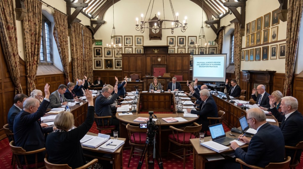
Our Strategic Policy Team has provided LDC with an absolute, legally binding wall of technical objections. We have also fully briefed our local Ward Councillors and Planning Committee Members with a targeted Technical Briefing Note, arming them with these exact NPPF and local plan arguments so they can grill the incoming Case Officer.
Burntwood stands firm. Save Our Green Belt!
To stay updated with the latest news, subscribe to our newsletter.




Leave a Reply