
Understanding Recent Surveyor Activity Around Coulter Lane and Church Road. Bloors are back.
Over the past few days, several residents have reported increased technical activity across the area, including utility markings along Nether Lane and Green Lane, and land surveyors actively plotting levels and boundaries from Church Road up towards Princes Park and Christ Church.
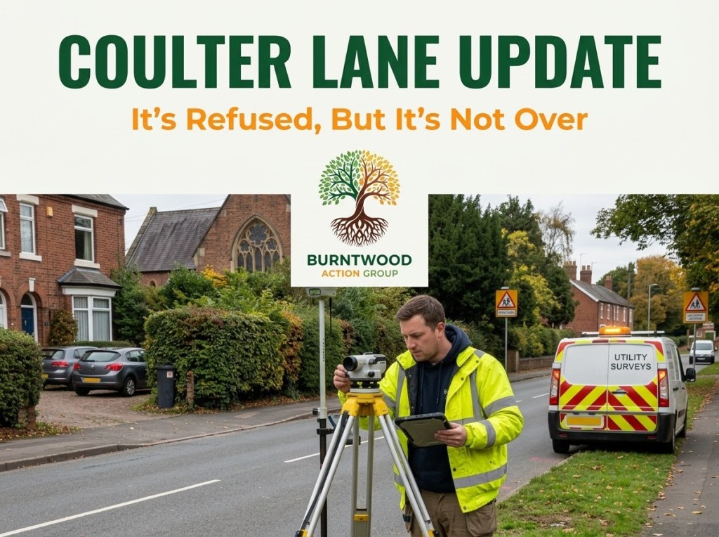
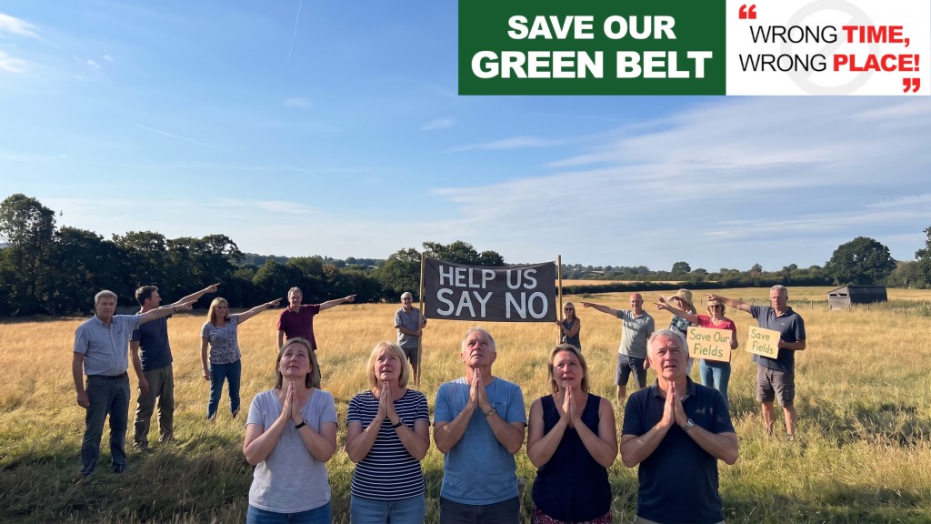
Given the strength of local interest following Lichfield District Council’s (LDC) decision to refuse outline planning application 25/01485/OUTM for up to 250 dwellings at Coulter Lane Farm, this update sets out an objective planning perspective on what this activity signifies, where the process currently stands, and how our evidence base is being prepared.
1. Current Legal and Planning Status of the Site
The presence of survey contractors does not indicate that planning permission has been granted, nor does it represent the lawful commencement of development under Section 56 of the Town and Country Planning Act 1990:
- Lichfield District Council formally refused outline application 25/01485/OUTM on 20 July 2026, resolving against the officer recommendation on three material grounds: inappropriate development in the Green Belt, inadequate local infrastructure capacity, and unacceptable highway impacts.
- The Secretary of State confirmed on 10 August 2026 that the decision would not be called in, leaving the local refusal intact.
- The site currently possesses no planning consent.
Surveyors operating on public highways, public rights of way, or land where the promoter holds access agreements are undertaking non-intrusive baseline evaluations. This work is standard civil and surveying practice; it does not circumvent the statutory planning register.
2. Why Is This Survey Work Occurring Now?
Major housebuilders generally manage refused schemes through two potential procedural avenues, and the current activity strongly points to Bloor Homes advancing one—or both—of these options:
Route A: Preparation for a Section 78 Planning Appeal
Under Section 78 of the Town and Country Planning Act 1990, the applicant has a statutory six-month window from the formal decision notice to lodge an appeal with the Planning Inspectorate, establishing a deadline around 10 February 2027.
- To contest LDC’s three refusal reasons at a Public Inquiry, the appellant must submit detailed technical Proofs of Evidence.
- Plotting topography, highway geometry, and site levels between Church Road, Princes Park, and the Grade II listed church allows engineering teams to model off-site highway visibility splays, drainage gradients, and visual impact assessments.
- Gathering updated baseline topographical and utility data is standard practice for an appellant attempting to address infrastructure objections prior to an inquiry.
Route B: Resubmission Under the Autumn 2026 Planning Delegation Regulations
Volume housebuilders frequently deploy a “twin-track” approach: preserving the Section 78 appeal while concurrently testing an amended scheme with the local authority.
- National changes to planning delegation regulations come into force on 31 October 2026, establishing a new “Gateway” triage system.
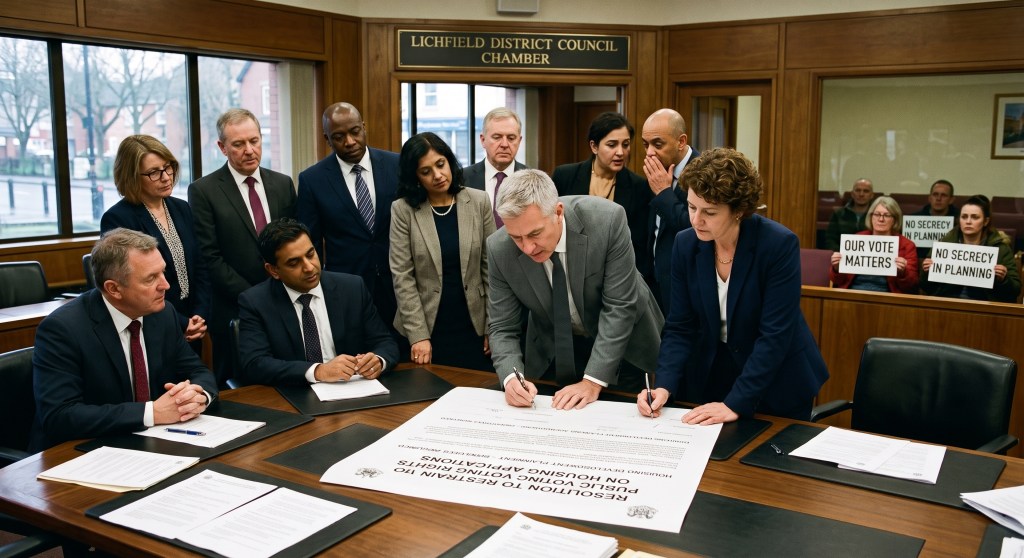
- For major proposals under Schedule 2, determinations are triaged at Week 5 post-validation. While applications can still be referred to the Planning Committee, this requires joint agreement between the nominated planning officer and the nominated committee member. If they disagree, the statutory default delegates the determination to planning officers.
- Because the planning officer originally recommended approval for the Coulter Lane scheme before the committee refused it, the developer may be gathering fresh technical data in an effort to present a modified application capable of being cleared through this administrative triage.
Whether the developer proceeds via a Public Inquiry or a modified resubmission, the fundamental planning constraints governing this parcel remain active material considerations that cannot be bypassed by surface-level design adjustments.
4. Community Action: How to Help Build the Evidence Base
The community’s most constructive contribution at this stage is objective recording rather than confrontation. We encourage residents to assist by logging:
- Contractor Details: Note down any company branding, logos, or vehicle registrations associated with survey crews.
- Specific Locations & Instruments: Record the exact locations of survey tripods, laser scanners, or trial pits (e.g., specific road junctions, field boundaries, or utility covers).
- Street Works Notices: Keep an eye out for temporary traffic management permits or statutory undertaker boards on local highway portals (such as one.network).
The Burntwood Action Group continues to prepare for both potential tracks. Our retained planning legal counsel will ensure that if an appeal is formally lodged or a resubmission is registered, our community’s technical evidence is submitted in full accordance with formal Rule 6 inquiry requirements and statutory consultation procedures.


Leave a Reply