We all know the name Burntwood Green. We use it every day—on our mail, when we talk to neighbours, and as a point of pride. But names are like fossils; they carry the history of the ground beneath our feet.
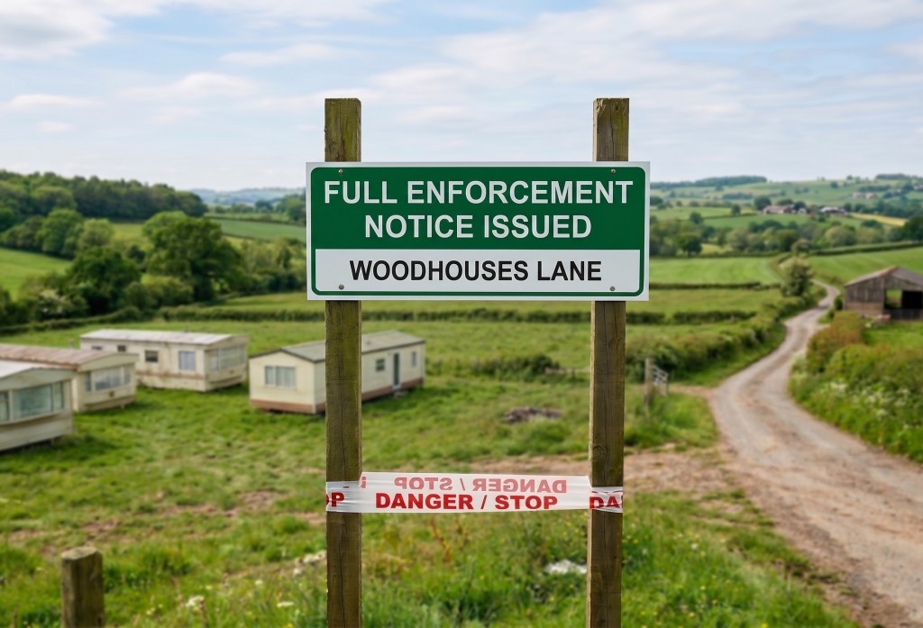
As we fight to save the fields at Coulter Lane, we need to ask a very important question: What happened to the “Green” in Burntwood Green?
From the Ashes of “Brendewode”
Our story starts with fire. In 1296, a massive forest fire tore through this part of the Royal Forest of Cannock. History remembers it as Brendewode (Middle English for “Burnt Wood”).
But for centuries after the fire, we weren’t “Burntwood Green.” Old records from the 1600s call this specific area Hanley Green. It wasn’t until around 1724 that the name we recognise today officially took over.
What was “The Green”?
In the 18th century, a “Green” wasn’t just a pretty name for a park. It was a legal status.
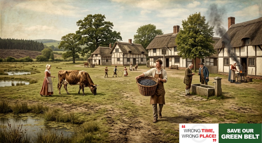
A Village Green was “Manorial Waste.” This was land that hadn’t been fenced off (enclosed) by big landlords. It was land for the people—where you could graze your cow, meet your neighbours, and celebrate the seasons.
“The Original Heart: Before the Pits and the Terraces”
It is easy to forget that the Burntwood we see today—including the bustling streets of Chasetown and Chase Terrace—was actually born much later. Those areas were forged in the mid-19th-century coal boom, built to house the miners who powered the industrial revolution. But long before the first pit was sunk, there was Burntwood Green.
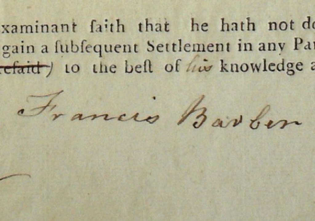
This was the first village. When the nailers of Farewell Lane were at their anvils and Francis Barber was walking these very fields in the 1790s. While the mining era gave our town its size, Burntwood Green gave it its soul. By protecting the Coulter Lane site and the Fulfen, we aren’t just saving a field; we are protecting the original, pre-industrial identity of Burntwood before the landscape was changed forever by the mines.
The Heart of the Village: The Blacksmith and the Star
Long before the houses we see today, the “Green” was a bustling hub of industry.
- 1600: A local blacksmith opened his forge and alehouse on the Green.
- 1790: That same spot became The Star Inn.
This wasn’t just a pub; it was the “office” for Burntwood’s famous Nailers. Families from Farewell Lane and Coulter Lane would bring their handmade nails to the Star to be weighed and paid.
Was the Coulter Lane site part of “The Green”?
This is where our campaign gets interesting. Historically, “Village Greens” were often much larger than the small patches of grass we see today.
As the population grew, people began “encroaching” on the green—building small cottages and carving out little fields. The Fulfen (the “Muddy Marsh”) and the Coulter Lane fields were likely part of this original open “waste.”
When the developer looks at Coulter Lane, they see “empty space.” But when we look at the name Burntwood Green, we see:
- People’s Land: The last surviving open space of the original village core.
- The Nailers’ Path: The route from Coulter Lane to the Star Inn.
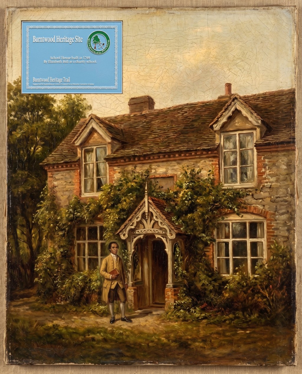
- Francis Barber’s World: The landscape where the UK’s first Black schoolmaster lived as a “Yeoman” in 1799.
Why the Name Matters in 2026
If the 2026 Green Belt Review ignores the history of Burntwood Green, it is ignoring the very identity of our township. We aren’t just protecting “fields”; we are protecting the physical heart of a 400-year-old settlement.
From the first blacksmith in 1600 to Francis Barber in 1799, this land has been the soul of our community. Let’s make sure the “Green” doesn’t become a memory.

Leave a comment