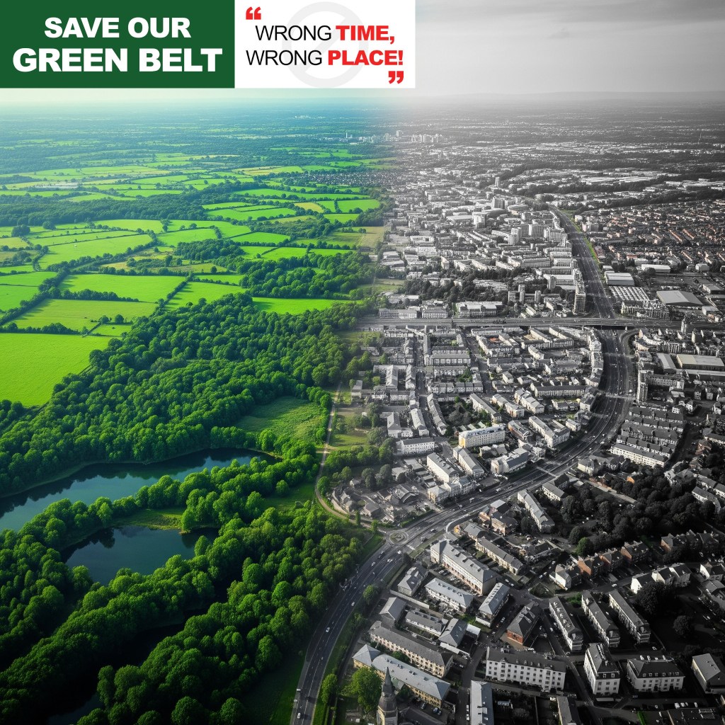
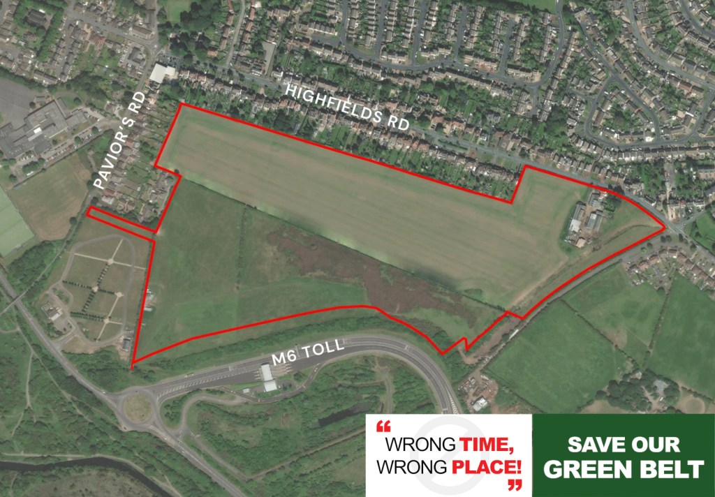
Another week, another proposal. Just as we digest one set of plans, notification lands for another major development in Burntwood. This time, Hourigan Planning and Anwyl Land are proposing 225 new homes on the land North of Rake Hill and Meg Lane.

We’ve scrutinised their 8-page “FAQ Sheet” so you don’t have to. Here is the deep dive into what is actually being proposed, the “Grey Belt” loophole they are using, and what it means for our roads.
1. The “Grey Belt” & Affordable Housing Angle
The developers are admitting the site is in the Green Belt. However, they are arguing that it meets the government’s new definition of “Grey Belt” land.
To qualify for this and bypass standard Green Belt protections, they must meet specific “Golden Rules.” The most significant rule is a requirement to provide 15% more affordable housing than the local council usually requires.
- Standard Requirement: Lichfield’s Local Plan usually asks for 28% affordable housing.
- Their Offer: They are proposing 43% affordable housing (approx. 97 homes).
They are clearly banking on this high percentage of affordable homes to persuade the Council to approve building on this Green Belt land.
2. The Masterplan: 225 Homes and a “Buffer”
The site covers 14.5 hectares, but they plan to build housing on only 6.24 hectares (43% of the site).
- Density: They estimate 36 dwellings per hectare, totaling 225 homes.
- Mix: A range of 1 to 5-bedroom properties.
- The “Buffer”: To soften the blow, the remaining 57% of the land (mostly to the north and east) is designated as “Public Open Space”. This includes a “substantial” undeveloped buffer along the northern boundary to separate the homes from the countryside.
- Listed Buildings: They claim the open space on the eastern side will preserve the setting of the Grade II Listed buildings at 32 and 34 Rake Hill.
3. Traffic & Access: The Megs Lane Changes
Traffic is always the primary concern for Burntwood residents. Here is what they are planning for the roads:
- Main Access: The single vehicular entry point will be at the north-western corner off Megs Lane.
- Road Works: This will require realigning the junction of Megs Lane and Ogley Hay Road, including a new right-turn lane on Ogley Hay Road.
- Emergency Access: A secondary access point is proposed on the western boundary, but this will be bollarded and restricted to emergency vehicles, pedestrians, and cyclists only.
4. Infrastructure & “Positive Discussions”
The FAQ sheet reveals a concerning detail: the developer states they have already held “positive discussions” with Officers at Lichfield District Council regarding this proposal.
Regarding the strain on local schools, doctors, and roads, the developer cites “Policy IP1,” stating they will pay financial contributions (Section 106) to mitigate these impacts where necessary. Essentially, they promise to pay into the pot, but the document lacks specific details on how local services will actually cope with 225 new families.
5. Timeline & How to Object
This is currently a pre-application consultation. They intend to submit the formal Outline Planning Application in Q1 2026 (early next year).
You have a limited window to make your voice heard before the application goes in.
- Consultation Deadline: Midnight, 18 January 2026.
- Where to view plans: www.houriganplanning.com/consultations (this particular site is not live at the time of writing, keep checking)
- How to comment:
- Email:
hello@houriganplanning.com(Subject line: “Land north of Rake Hill, Burntwood Consultation”). - Post: Hourigan Planning, 10th Floor Chancery Place, 50 Brown Street, Manchester, M2 2JG.
- Email:
Our Take: The promise of 57% open space and high affordable housing is designed to look attractive on paper, but the pressure on Megs Lane and the loss of Green Belt land remains a critical issue. We encourage every resident to review the plans and send their feedback before January 18th.
Read or download the FAQ…
View or download the development framework plan.


Leave a comment